


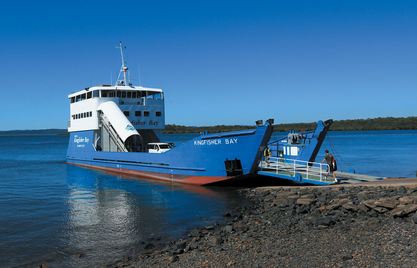
In May 2015, my television filming team and I flew to Brisbane, Australia, to film a documentary on four World Heritage Sites (WHS) of the State of Queensland including Fraser Island which was declared a WHS by UNESCO in 1992. From Brisbane we flew 50 minutes northward on a domestic flight to Hervey Bay, then embarked on a 40-minute ferry ride to Fraser Island.
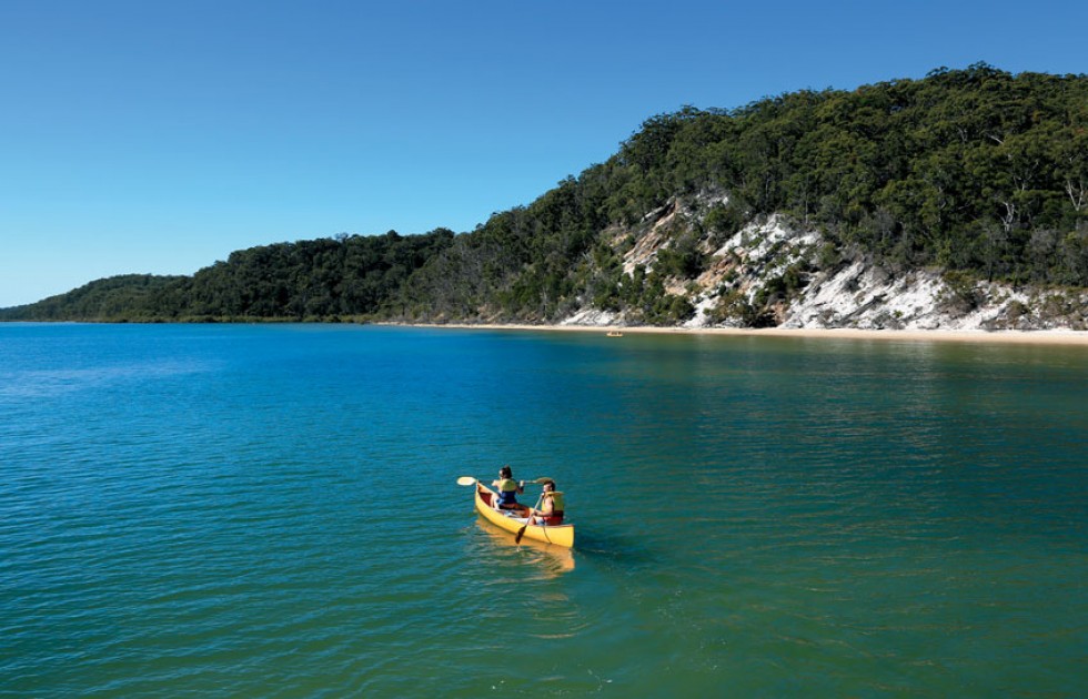
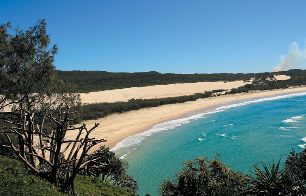
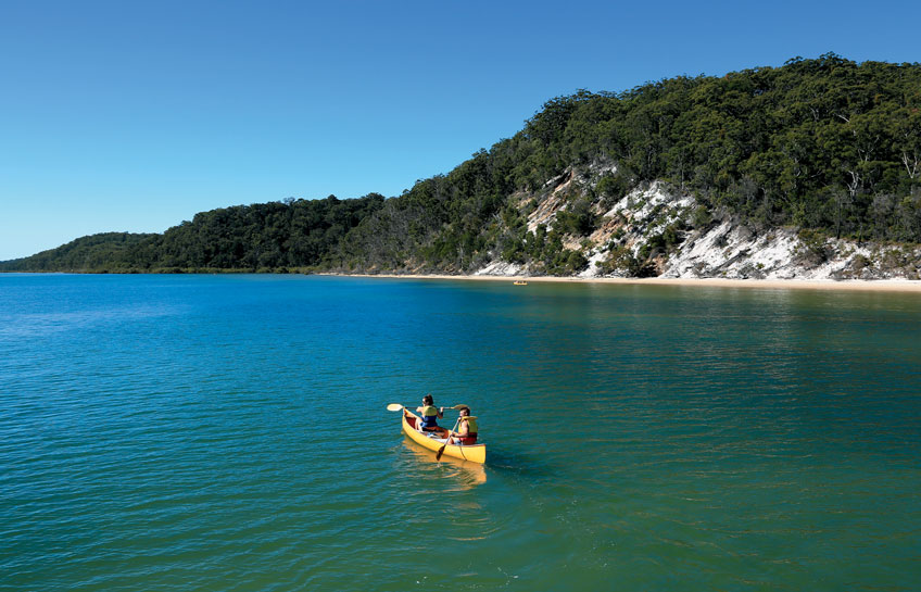
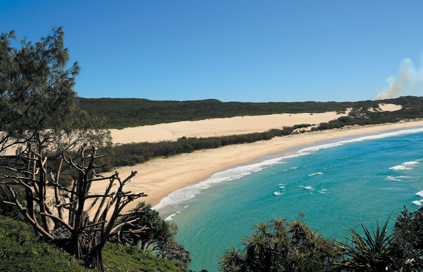
Before leaving on the trip, I did a research on Fraser Island and learned that the island is approximately 120 km in length and about 24 km in width. What’s so spectacular about Fraser Island is that it’s the largest sand island in the world, covering an area of 1,840 square km and that it consists of several kinds of forests – rainforests, eucalyptus woodland, mangrove forests, peat swamps, and coastal heaths. I was amazed to see from the ferry that the island in front of me was covered with dense lush green rainforests and became anxious to see and learn how trees could grow on sand into forests.
We climbed up to the top of Indian Head where we could see the scenery around us, especially the Pacific Ocean. This was a good spot where the sea was clear enough to see a few rays coming close to the base of the cliff. Looking north it was our first observation of a sandblow, a Nature’s creation as a balance between rainforests and sand dunes.
Sandblows are sand dunes which are moved across the island by the wind encroaching on nearby rainforests devoid them of vegetation. The year-round strong south-easterly wind moves sand from the existing sand dunes at the rate of 1 to 2 meters a year and can grow to a height of 244 meters. It is estimated there are now more than 40 sandblows on the island.
We had a close viewing on foot of the Hammerstone Sandblow, a large sandblow which has covered a large area of a rainforest until it reaches Lake Wabby, the deepest lake on the island at 12 meters in depth, which acts as a barrier to deter the encroachment of the sandblow.
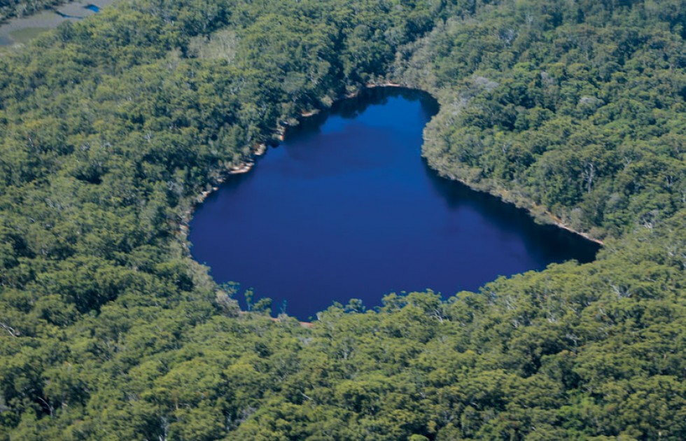
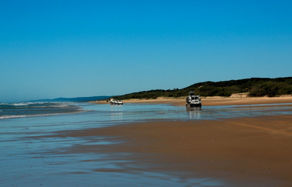
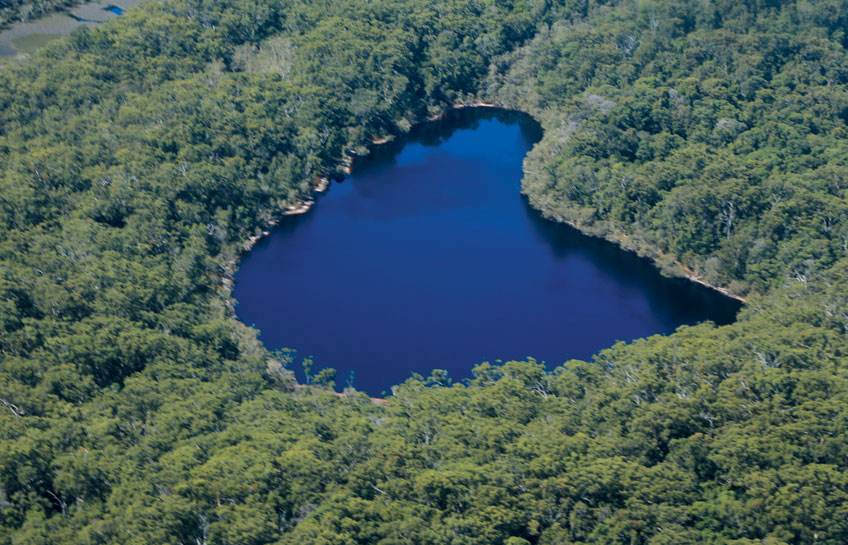
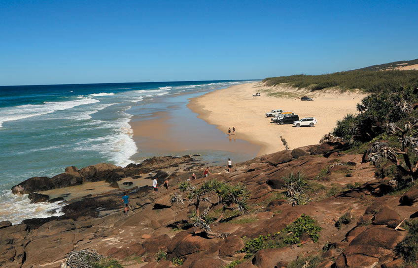
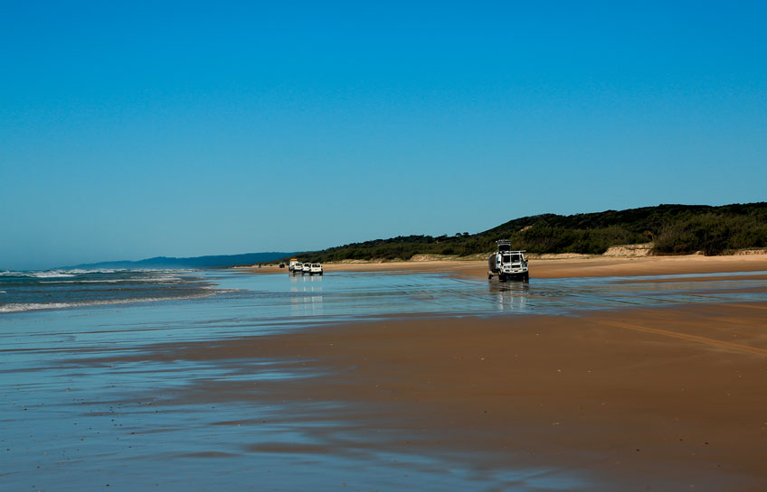
The coastal highway is also used as a landing strip for single-engined planes which take passengers up for a 15-minute sightseeing flight. My team and I took a flight which enabled us to have an aerial view of the sandblows, freshwater lakes, and also the wreck of S.S Maheno which has become a tourist attraction of the East Coast.
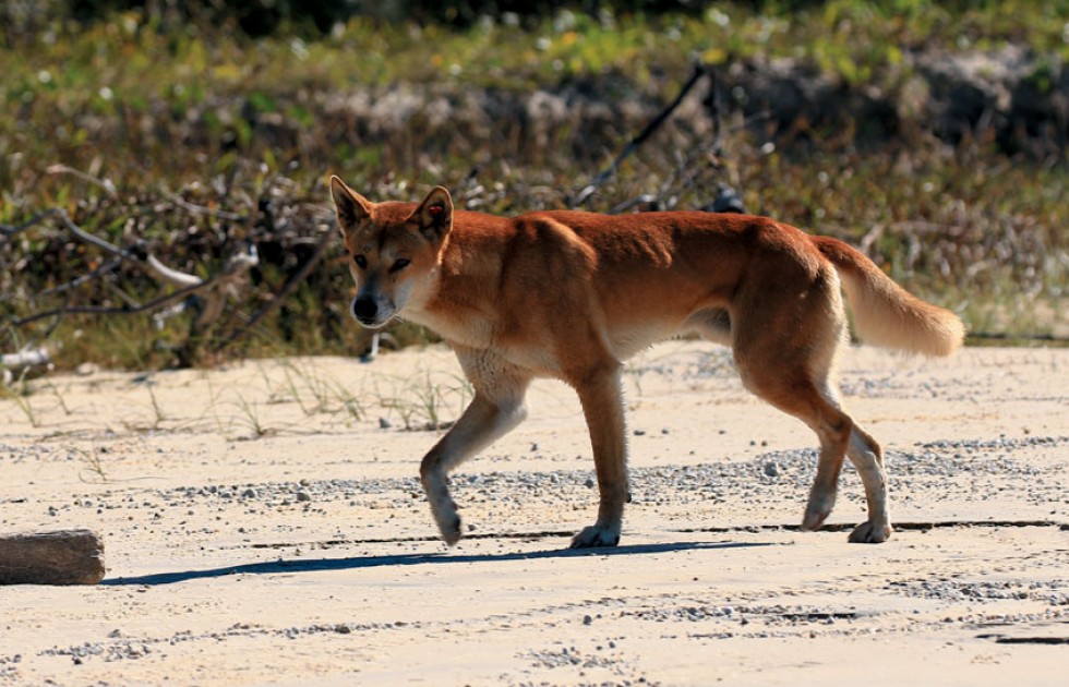
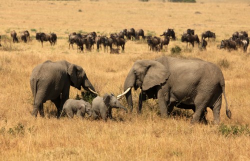
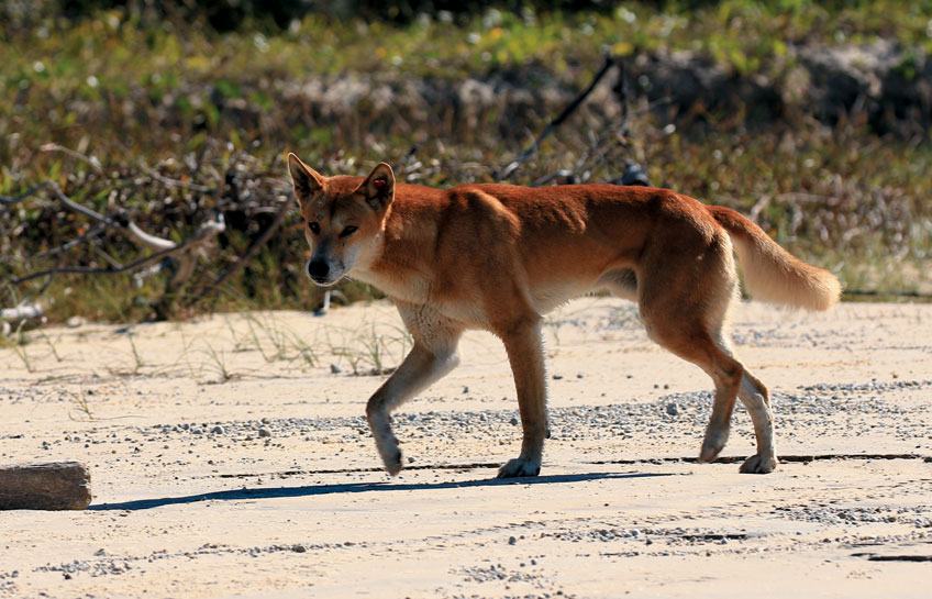
A main reason most visitors come to Fraser Island is to see dingoes, Australian wild dogs, in the wild. Because of its separation from the mainland and the prohibition of dogs on the island to prevent cross-breeding, Fraser Island is a safe haven to conserve the last remaining pure dingoes in Australia. Dingo has a height of 52-60 cm and weighs 13-20 kg. It is the largest terrestrial predator in Australia preying on kangaroos, rabbits, rats and other mammals. It has a prominent role in the culture of Aboriginal Australians, depicted on rock carvings and cave paintings.
Our guide Martin told us that the coastal highway was the most plausible place to spot dingoes because there were several freshwater streams flowing from underground reservoirs into the sea providing dingoes and their prey endless supply of water. Martin’s words were proven true when we spotted a lone dingo walking on the beach on our return drive from Indian Head. We followed the dingo for a while until it headed into the shade of a big tall tree to join three more dingoes which were feeding on a prey. We were relieved that one of our objectives on Fraser Island was fulfilled.
If you plan a visit to the East Coast of Australia and look for a place to relax and enjoy soft adventure activities, don’t miss Fraser Island in Queensland.


